
Hits: 156
The latest National Weather Service Forecast , 11:00 A.M. E.D.T.
IT WAS 27 DEGREES AND SNOW-SLEETING-FREEZING RAIN IN WHITE PLAINS NY USA FROM 6 TO 8:15 A.M. SNOW SLIPPERY.PLOWS PLOWING. SNOW DEPTH– STILL 8 INCHES APPROACHING 11 A.M. STORM TURNED TO ALL SNOW IN SWIRLING WINDSWEPT STROKES AS OF 8:15 A.M. CHANGED TO ALL SLEET-FREEZING RAIN AGAIN AS OF 10:45 A.M. LIGHT SNOW STARTED UP AT 1:30 PM. SNOWFALL IN THE WPNCR PART OF TOWN: 8 TO 9 INCHES.
THE SLEET FACTOR APPEARS IS DEPRESSING THE SNOWFALL DEPTH, BUT UNFORTUNATELY MAKING THE SNOW COVER VERY HEAVY TO SHOVEL. USE CAUTION WHEN LIFTING.

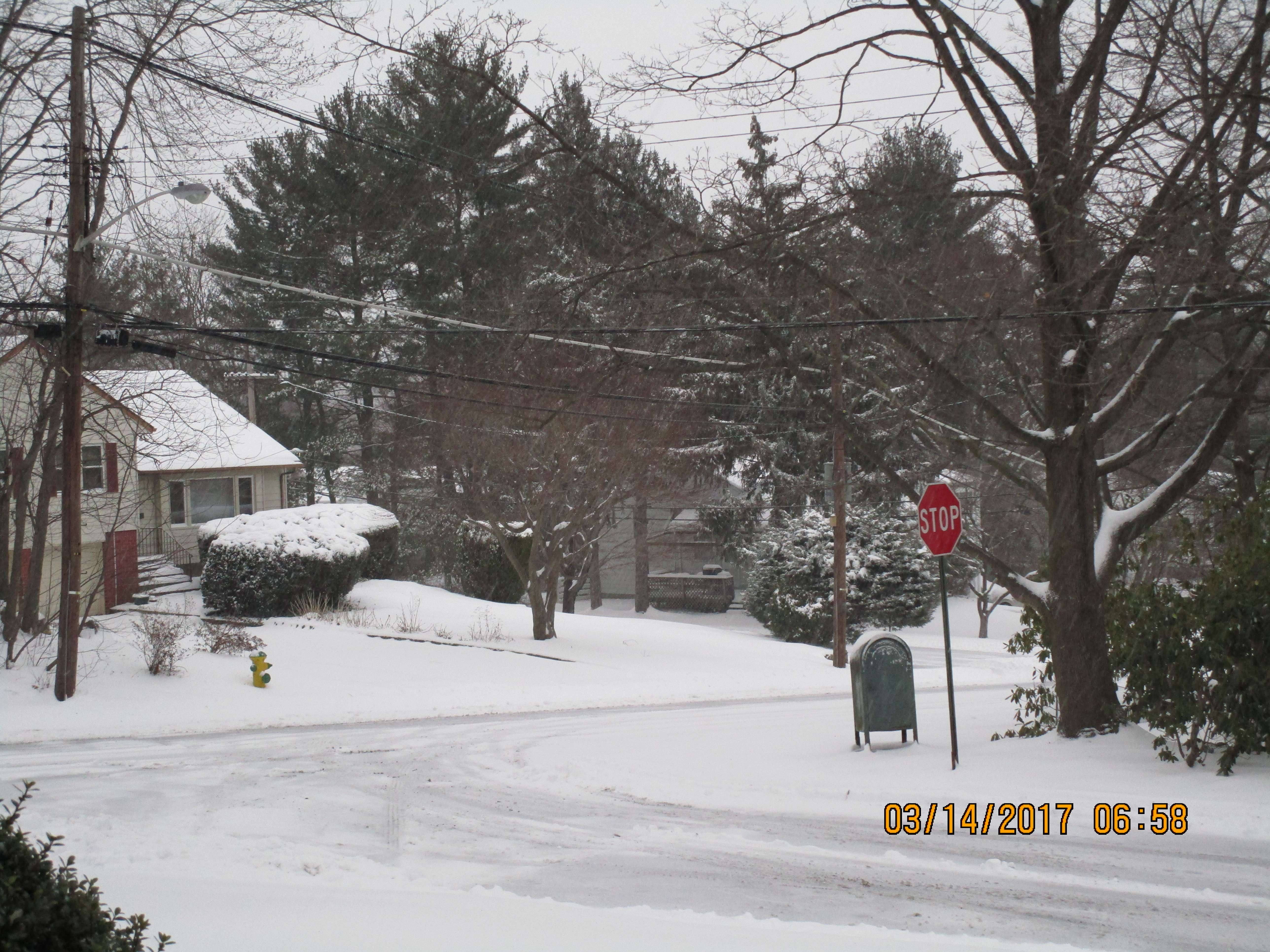
White Plains DPW staying ahead of the SnowSleet-Snow-Sleet Buffet as of 10:45 A.M. Thanks DPW!
As of 10:45 A.M. EDT Snowflakes turn to Sleet. No flakes visible.

An Early Driveway Clearing in the sleet storm
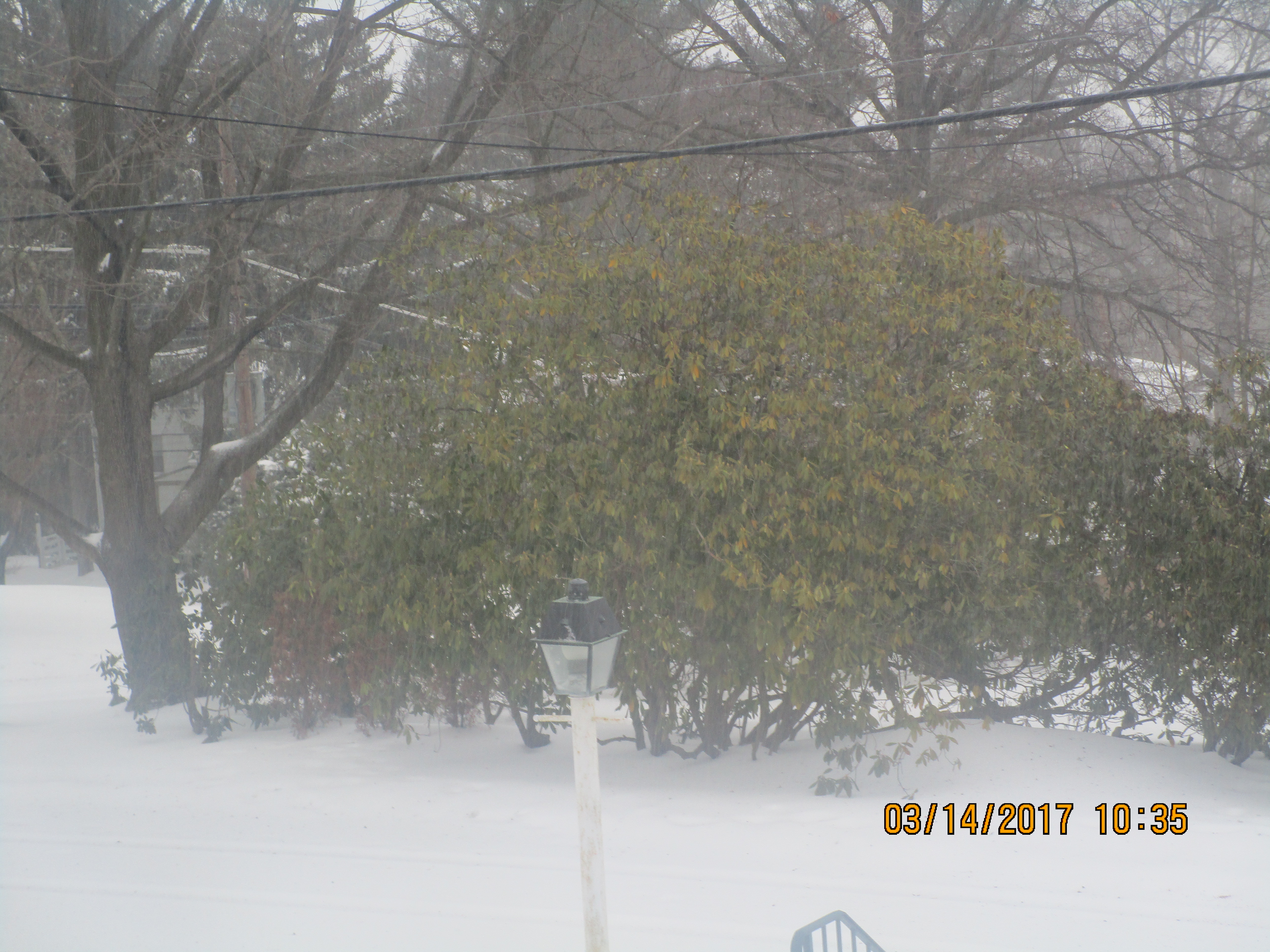
Snow turns into all snow from sleet as of 8:15A.M. E.D.T, and is being driven at 45 degree angles to the surface
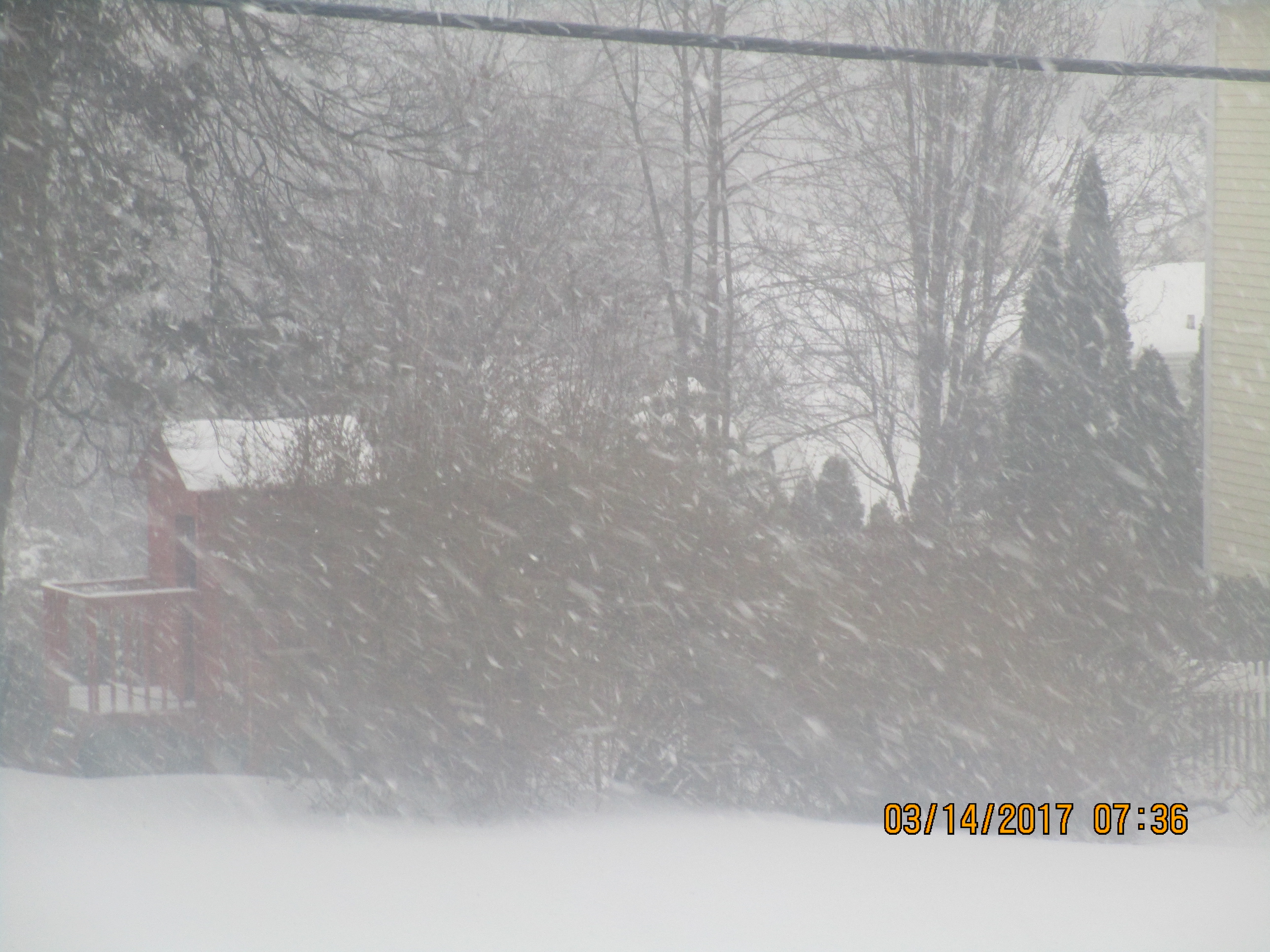
Snow consisting of ice-sleet pellets as of 8 A.M. E.D.T. Hardly visible. Depth on flat ground, 8 inches.
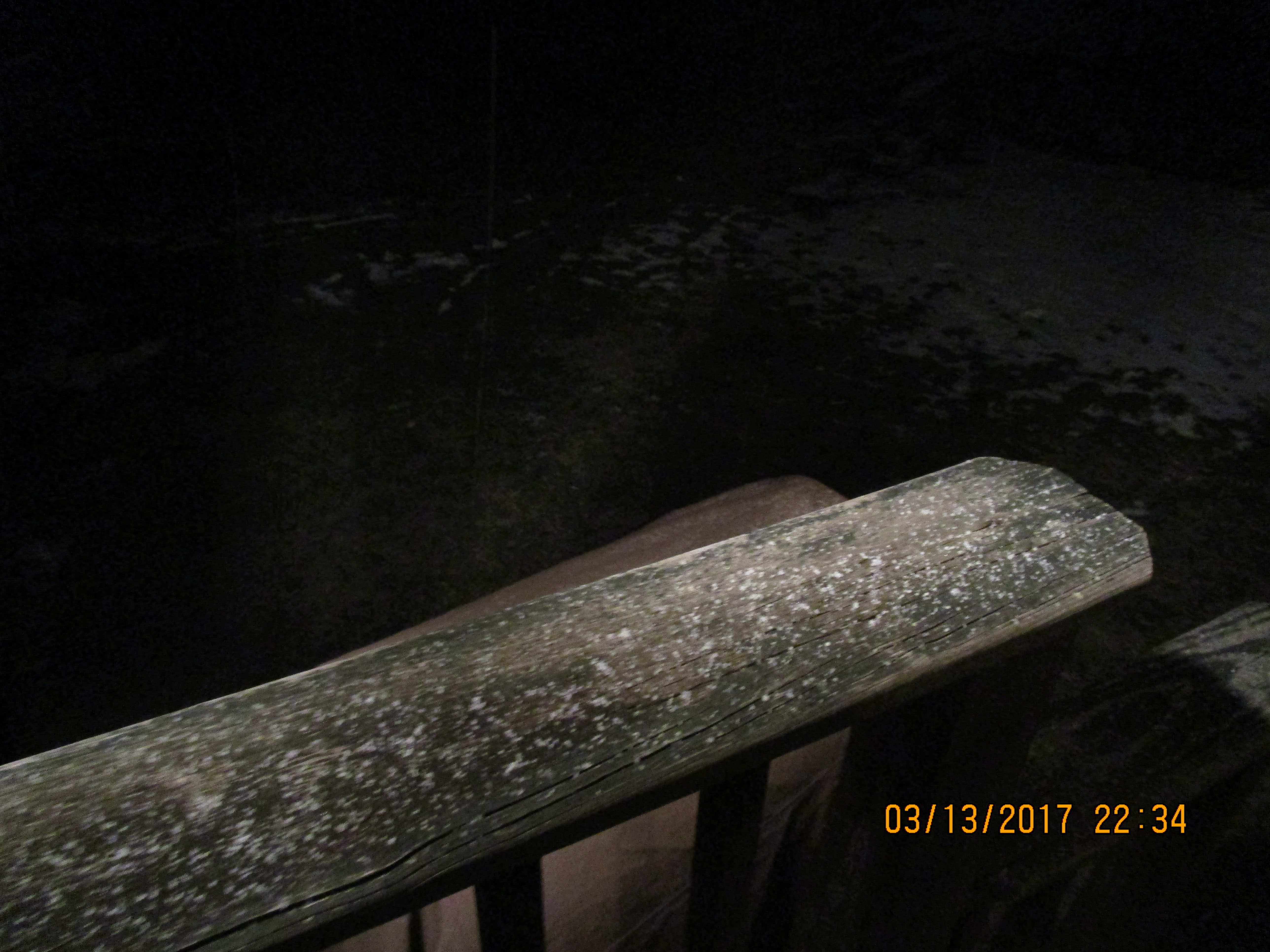
Snow starts as of 11:30 P.M. Monday night as snow-ice pellets.Camera time not adjusted to E.D.T.